Ettina Buja

Updated on March 19, 2022 at 1:40 PM
Location: Ettina Bhuja Hill
District: Chikmagalur
Type: Sight Seeing, Temple & Trekking
Distance: 12.8 KM


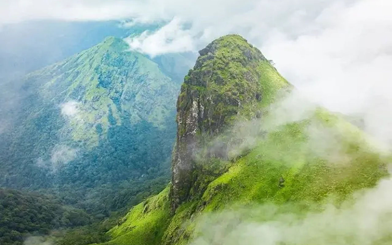
Ettina Bhuja journey would be a superb encounter for any adventurer. Ettina Bhuja in a real sense implies bull's shoulder. At 1,300 meters above ocean level, it is arranged in the Dakshin Kannada area of Karnataka.
It lies in close to Dharmasthala and is a piece of the Charmadi Ghats. Tall trees, delightful perspectives, and dazzling normal settings go with your way up the tiring, yet remunerating venture.
Ettina Bhuja journey is intended for all travelers the same. However long you love nature and like propelling yourself a little, you can take up this modestly difficult and fun journey offering a plenty of greenery up and down its stretches

About the Ettina Bhuja Trek
The best way to begin the Ettina Bhuja Trek is from Kukkada near Dharmastala. Start the journey by heading to Shishila. There are many ways to go there throughout the year. You can book a package that includes food and a stay at a nearby farmhouse or famous trekking cottages for the night.
There are streams, lush green vegetation and the possibility to camp under twinkling stars. Although it is not difficult, you will need to be able to climb to the summit. Consider bringing a guide and wearing good shoes, as there are some parts that can get slippery.

You can start with a jeep, and park it at the base. Then, you can walk until you reach a stream, then cross it by foot. After you have cleared the minor obstacles, it will be easier to climb uphill slowly. To reach the top, allow at least 5 hours.
Things to Do
Admire the Fauna
Keep an eye out for the most unique and beautiful creatures that are not often seen in the city. You may be lucky enough to spot the giant flying squirrel, giant spotted deer, brown palm viper, gaur and other unusual creatures.
Watch the Sunset

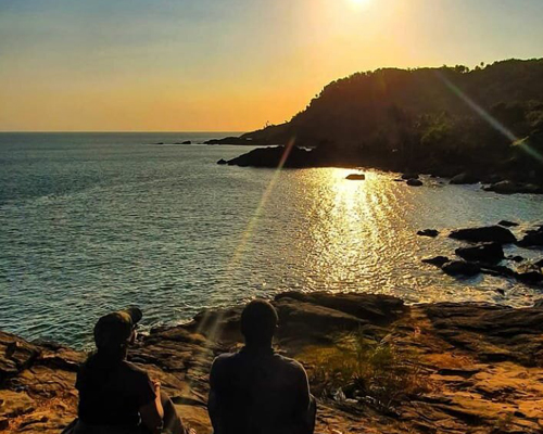
Because the peak isn't very high, the sunrise or sunset at the peak may not be quite as dramatic. There are actually taller mountains in this region. The sunset is worth it all. You can either camp there or stop to enjoy the sunset.
How to Reach Ettina Bhuja
By Air
Mangalore Airport is the closest airport to Ettina Bhuja at 146 kms, while Bangalore Kempegowda International Airport is 280 km away.By Train
Board the train form Mangalore Station, which is situated about 70 kilometers from Dharmasthala. From there, book a cab or take the bus for the onward journey. A number of trains ply from important cities to Dharmasthala.By Road
Book a bus to Shishila village. From there, pre-book a cab ride to Ettina Bhuja area.More About Ettina Bhuja
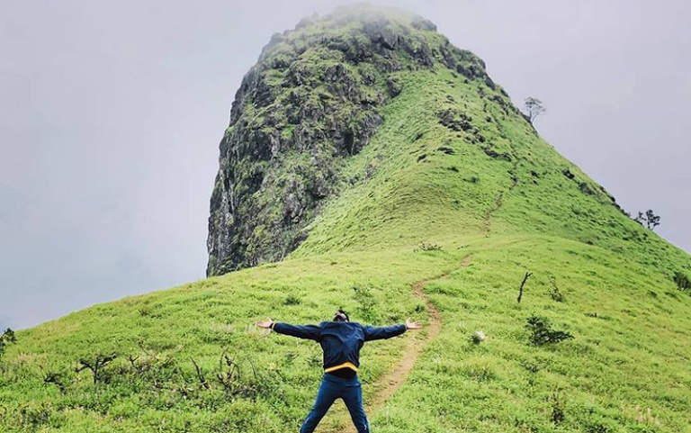
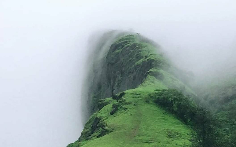
Ettina Bhuja a hidden gem on a trail in southern Karnataka. It is a short trek to Ettina Bhuja. This trek is perfect for beginners and those who have limited trekking experience. Ettina Bhuja is a peak at 1300msl in the Charmadi Ghats area of Karnataka. Ettina Bhuja's name is classical Kannada and means "ox's shoulder". The peak is shaped like the hump of an ox's head. Shishila is the starting point for Ettina Bhuja's trekking route. It is located 15kms from Dharmasthala. Trekkers usually hire a jeep to take them from Shishila up to Holegundi, where the trail actually begins. The peak is located 8 kms from Holegundi. This is a more difficult trail than most and the vegetation covers them quickly so it is easy to get lost. The trail begins with Ettina Bhuja visible through the trees. You will reach the Kapila river crossing about a kilometer away from Holegandi. Although the water level isn't high, it is strong and slippery. A stream that flows in the opposite direction is found a few minutes later. This is a tributary to the Kapila river. This gentle stream offers tranquility and is a great spot for a rest. You can follow the stream's gurgling sounds along the trail. One can trek along the stream for more than an hour through leech land. This stretch is renowned for its mini waterfall, the gurgling sounds from the water, dense canopy of trees, gradual ascent, and undefined trails. As the gradient increases, the trail gradually moves away from the stream. The trail is home to a wide variety of mushrooms, which makes for some great photos. One can see Ettina Bhuja again as the forest gives way to grasslands.

The trekkers are separated by rolling hills and green valleys. You will travel through valleys and hills, shola forests, and grasslands on your way to the summit. The two-hour stretch is exhausting. It is recommended to take breaks from the heat by sheltering under trees during the crossings. It is a steep ascent that is hard on the nerves. A beautiful grassland lies at the base of the majestic peak. From behind the peak, you will make your final ascent to Ettina Bhuja. Trekkers who plan to camp close to the peak will set up camps, and then ascend the peak as the sun sets. It can be very draining to burn your energy in the scorching heat. The peak is best for experienced trekkers who take a break before continuing on to the summit. It is quite close to the summit. It takes approximately 30 minutes to climb the final peak, which is incredibly thrilling. To reach Ettina Bhuja, the adventurous will attempt to climb up a 70-degree slope and on fours for a portion. This route, which is less strenuous, takes you along rocky ridges and circles the peak. The views from these ridges are breathtaking. Deep gorges can be found on one side, and rocky areas on the other. Trekkers arrive at Ettina Bhuja with their hearts full.
Ettina Bhuja has breathtaking views of the Charmadi Ghats' peaks, including the Ombattu Gudda Gudda or Amedikallu. Beautiful sunset views can be enjoyed from the peak. It is easy to see the Bhairaveshwara temple on the plains. Windy, the rocky peak is exposed and no trees provide shade. The base of the peak is where trekkers can camp amid the cold winds, starry sky and freezing temperatures. Ettina Bhuja, which is not the highest peak in Charmadi Ghats, rises at dawn later than other taller peaks. It is a stunning sight to see the sun light up the peak, creating a golden glow that will stay with you forever. The trekking community of South India is fondly aware that Ettina Bhuja can be reached amid tall elephant grass, moist forests, a wide range of mushrooms, harsh sunlight, slippery rocks, difficult trails and open skies. It is imposing from all angles and the final ascent gives you a great sense of accomplishment.

